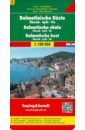
Dalmatian Coast - Sibenik - Split - Vis. 1:100 000
High quality road maps with place name index. In many countries these are simply the best maps available. Scales vary according to the size of the country. Index is in several languages.
Следите за акциями и распродажами в нашем магазине.
/ / / подобные товары
Купить за 608 RUR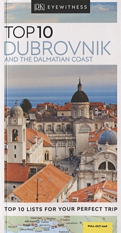
Top 10 Dubrovnik and the Dalmatian Coast
An unbeatable, pocket-sized guide to Dubrovnik and the Dalmatian Coast, packed with insider tips and ideas, colour maps, top 10 lists and a laminated pull-out map - all designed to help you see the very best of Dubrovnik and the Dalmatian Coast.Explore Dubrovnik's Old City and admire the Rector's
Следите за акциями и распродажами в нашем магазине.
/ / / подобные товары
Купить за 605 RURTop 10 Dubrovnik and the Dalmatian Coast
An unbeatable, pocket-sized guide to Dubrovnik and the Dalmatian Coast, packed with insider tips and ideas, colour maps, top 10 lists and a laminated pull-out map - all designed to help you see the very best of Dubrovnik and the Dalmatian Coast.Explore Dubrovnik's Old City and admire the Rector's
Следите за акциями и распродажами в нашем магазине.
/ / / подобные товары
Купить за 605 RUR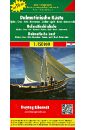
Dalmatian Coast. 1:150 000
High quality road maps with place name index. In many countries these are simply the best maps available. Scales vary according to the size of the country. Index is in several languages.
Следите за акциями и распродажами в нашем магазине.
/ / / подобные товары
Купить за 1044 RUR
Reid Taylor Jenkins Daisy Jones and The Six
Everybody knows Daisy Jones and the Six. Their sound defined an era. Their albums were on every turntable. They sold out arenas from coast to coast. Then, on 12 July 1979, Daisy Jones walked barefoot onto the stage at Chicago Stadium. And it all came crashing down. Everyone was there. Everyone
Следите за акциями и распродажами в нашем магазине.
/ / / подобные товары
Купить за 2384 RUR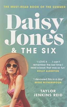
Reid T. Daisy Jones and The Six
Everybody knows Daisy Jones and the Six.
From the moment Daisy walked barefoot on to the stage at the Whisky, she and the band were a sensation. Their sound defined an era. Their albums were on every turntable. They sold out arenas from coast to coast.
This is the story of their incredible rise:
Следите за акциями и распродажами в нашем магазине.
/ / / подобные товары
Купить за 1496 RURReid T. Daisy Jones and The Six
Everybody knows Daisy Jones and the Six.
From the moment Daisy walked barefoot on to the stage at the Whisky, she and the band were a sensation. Their sound defined an era. Their albums were on every turntable. They sold out arenas from coast to coast.
This is the story of their incredible rise:
Следите за акциями и распродажами в нашем магазине.
/ / / подобные товары
Купить за 1496 RUR
Croatia. Slovenia. Superatlas 1:150 000
Spiral-bound Superatlas of Croatia and Slovenia at 1:150,000 scale (1.5 km per cm) that depicts elevation with shaded-relief and color tinting. The 97 map pages for Croatia and 72 pages for Slovenia show highways and roads, scenic routes, rail and ferry lines, ports, distances in kilometers,
Следите за акциями и распродажами в нашем магазине.
/ / / подобные товары
Купить за 1850 RUR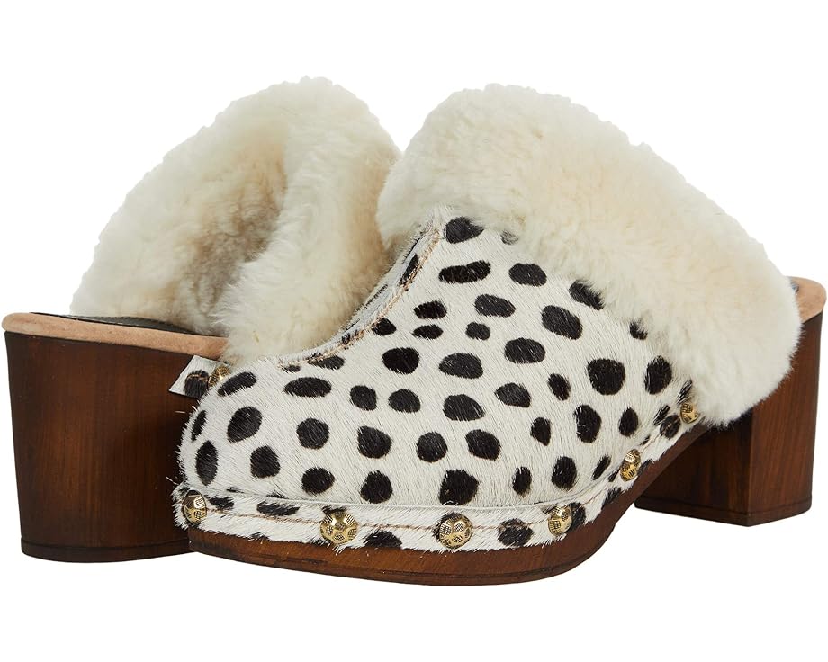
Сабо Californians Greta, цвет Dalmatian
Бренд: CaliforniansЦвет: Dalmatian
Следите за акциями и распродажами в нашем магазине.
Californians / / / подобные товары
Купить за 14674 RUR
Reid Taylor Jenkins Daisy Jones and The Six
Everybody knows Daisy Jones and the Six. From the moment Daisy walked barefoot on to the stage at the Whisky, she and the band were a sensation. Their sound defined an era. Their albums were on every turntable. They played sold-out arenas from coast to coast. Then, on 12 July 1979, it all came
Следите за акциями и распродажами в нашем магазине.
/ / / подобные товары
Купить за 3538 RUR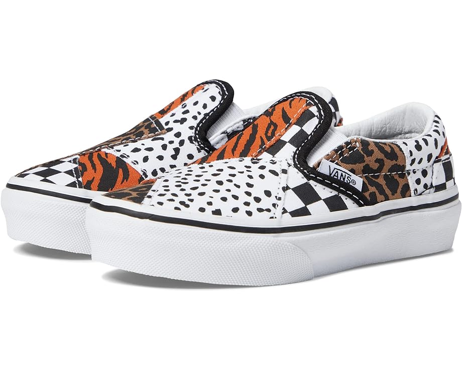
Кроссовки Vans Classic Slip-On Patchwork, цвет Dalmatian Multi
Бренд: VansЦвет: Dalmatian Multi
Следите за акциями и распродажами в нашем магазине.
Vans / / / подобные товары
Купить за 4309 RUR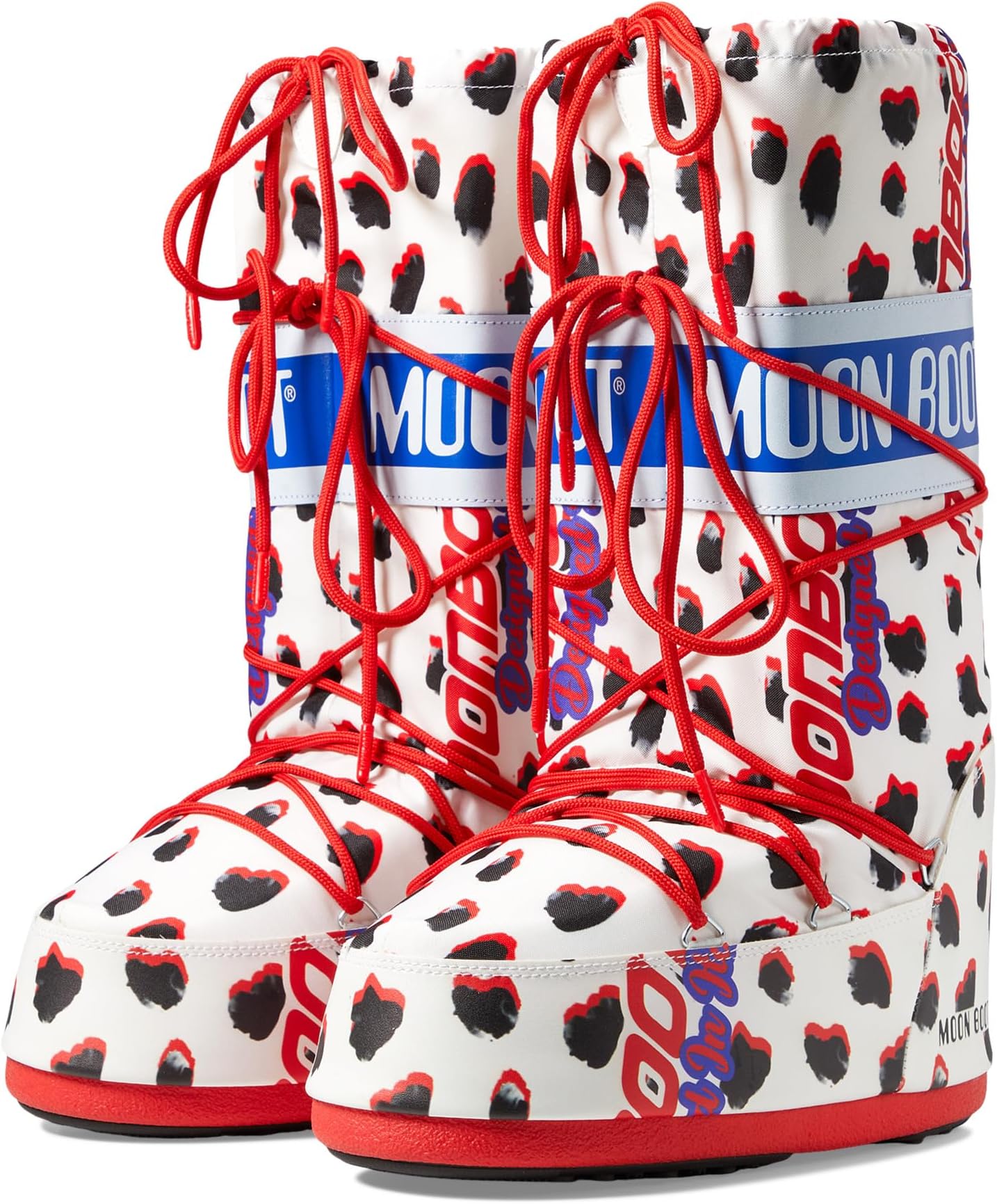
Зимние ботинки Icon Retrobiker MOON BOOT, цвет Dalmatian
Бренд: MOON BOOTЦвет: Dalmatian
Следите за акциями и распродажами в нашем магазине.
Moon Boot / / / подобные товары
Купить за 31287 RUR