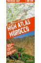
High Atlas Morocco. Trekking Map. 1:100 000
The trekking map of the High Atlas at 1:100 000 includes the region of Jebel Toubkal - the highest peak of Morocco and also the ski station of Oukaimiden. The map also includes a road and tourist map at 1:1 500 000 (1:3 000 000 for Southern Morocco) of the whole country showing tourist attractions.
Следите за акциями и распродажами в нашем магазине.
/ / / подобные товары
Купить за 1435 RUR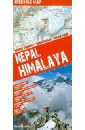
Nepal. Himalaya
This easy-folding laminated map is durable and water resistant. The map includes the region of Everest and Annapurna with detaile topographic and tourist information. The trekking map of the region around Everest is at 1:100 000 scale covering lukla in the south to Gokyo lake in the west, Island
Следите за акциями и распродажами в нашем магазине.
/ / / подобные товары
Купить за 911 RUR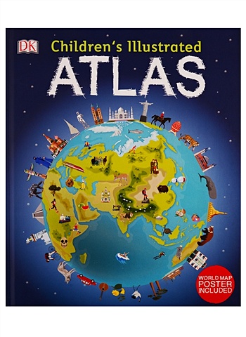
Brooks A. Children`s Illustrated Atlas
DK's Children's Illustrated Atlas brings geography to life; packed with more than 50 colourful maps for kids and fascinating facts about the countries of the world.Each map is bursting with information, such as climates, populations, famous sites, mountains and rivers, and natural wonders of the
Следите за акциями и распродажами в нашем магазине.
/ / / подобные товары
Купить за 1156 RURBrooks A. Children`s Illustrated Atlas
DK's Children's Illustrated Atlas brings geography to life; packed with more than 50 colourful maps for kids and fascinating facts about the countries of the world.Each map is bursting with information, such as climates, populations, famous sites, mountains and rivers, and natural wonders of the
Следите за акциями и распродажами в нашем магазине.
/ / / подобные товары
Купить за 1156 RUR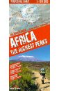
Africa. The Highest Peaks. 1:150 000
This trekking map includes the African peaks that are most popular among avid mountain hikers: Mount Kilimanjaro, Mount Kenya and the Rwenzori Mountains. It covers areas in Kenya, Tanzania and Uganda. A large-scale map with rich tourism content will allow you to plan your trek in detail. Our maps
Следите за акциями и распродажами в нашем магазине.
/ / / подобные товары
Купить за 2319 RUR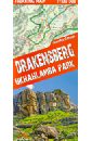
Драконовы горы. ЮАР. Карта 1:100 000 trekking map
This is a unique, handy-in-use trekking map of the Drakensberg in the UKhahlamba Park on the South Africa-Lesotho border. The map stands out for its accurate, detailed topographical and tourism-oriented content. It has been designed especially for enthusiasts of active leisure pursuits who are
Следите за акциями и распродажами в нашем магазине.
/ / / подобные товары
Купить за 1544 RUR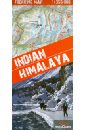
Indian. Himalaya. 1:350 000
A unique map of the Indian Himalaya mountains (scale 1:750 000), detailed maps (scale 1:350 000) of 22 trekking itineraries in 10 regions of north-east India (Kashmir, Ladakh, Zanskar, Lahaul, Rupshu, Spiti, Kinnaur, Garhwal, Kumon and Sikkim), tourist and topographical information and other practical information.
Следите за акциями и распродажами в нашем магазине.
/ / / подобные товары
Купить за 1435 RUR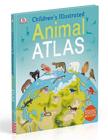
Ambrose J. Children s Illustrated Animal Atlas
Bring the amazing world of wildlife right into your home. Packed with animal facts for kids and more than 40 colourful maps that detail the countries they where live.Each colourful map is bursting with information, combining illustrations of animals with photographs showing key habitats and
Следите за акциями и распродажами в нашем магазине.
/ / / подобные товары
Купить за 1426 RURAmbrose J. Children s Illustrated Animal Atlas
Bring the amazing world of wildlife right into your home. Packed with animal facts for kids and more than 40 colourful maps that detail the countries they where live.Each colourful map is bursting with information, combining illustrations of animals with photographs showing key habitats and
Следите за акциями и распродажами в нашем магазине.
/ / / подобные товары
Купить за 1426 RUR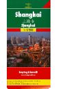
Shanghai
This map appears in the map series world mapping project in travel expertise. Characteristic is the high-quality, clear and modern cartographic representation. Contour lines with elevation Coloured elevation levels Classified road network with distances Places of interest Detailed local index GPS
Следите за акциями и распродажами в нашем магазине.
/ / / подобные товары
Купить за 1508 RUR
London A-Z Street Atlas
Navigate your way around London with this detailed, easy-to-use and up-to-date A-Z Street Atlas. First published in 1936, this iconic atlas is a trusted means of finding your way around the capital city. The main mapping extends beyond Central London from Heathrow Airport to Chingford at a scale of
Следите за акциями и распродажами в нашем магазине.
/ / / подобные товары
Купить за 1310 RUR
Big London A-Z Street Atlas
Large scale A-Z street mapping of London. This A4 street atlas offers the perfect combination of coverage and clarity, the area covered ranges from Heathrow Airport all the way to Chingford at a scale of 4.25 inches to 1 mile, while a detailed map of Central London is at a larger scale of 8.5
Следите за акциями и распродажами в нашем магазине.
/ / / подобные товары
Купить за 2435 RUR